
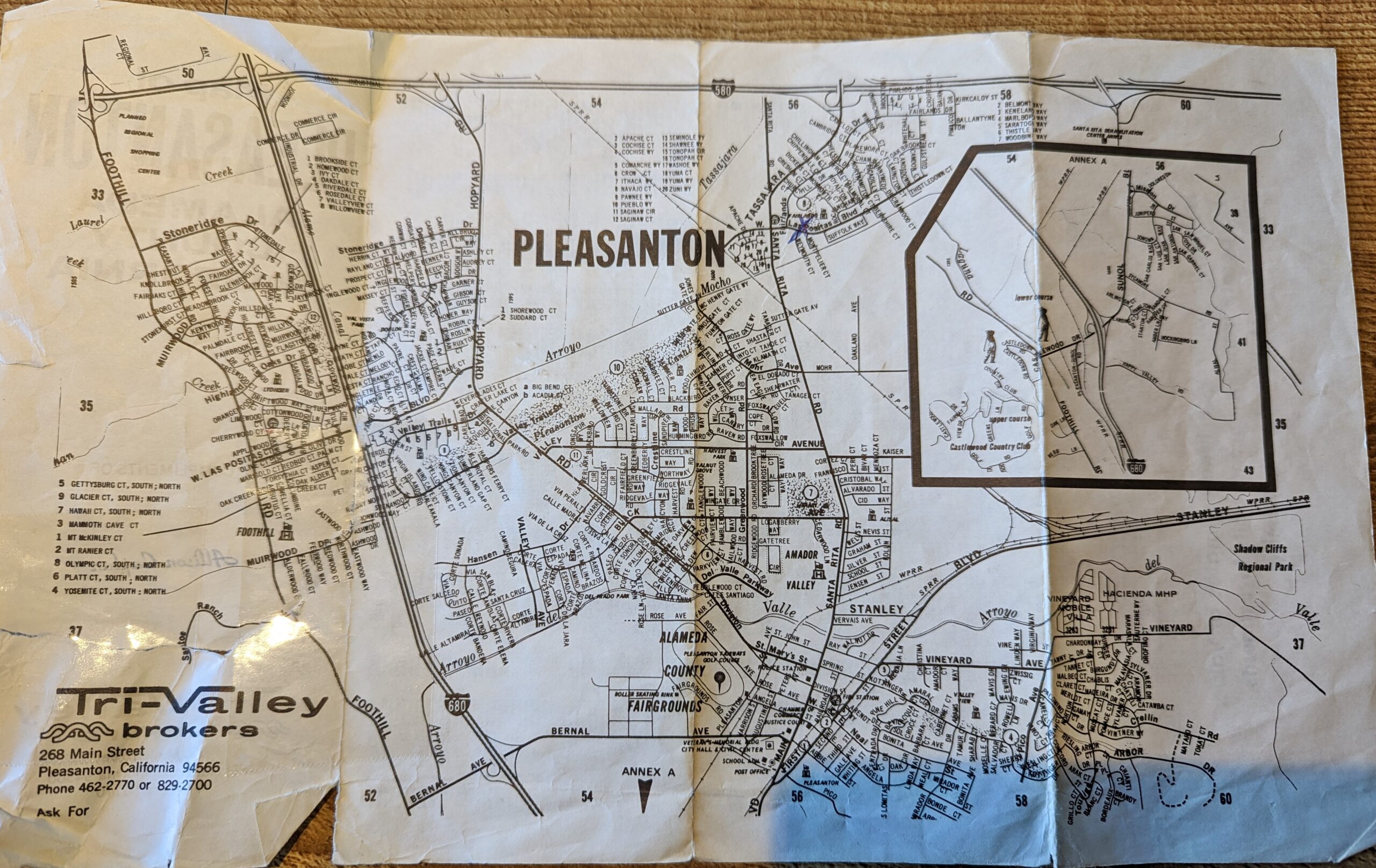
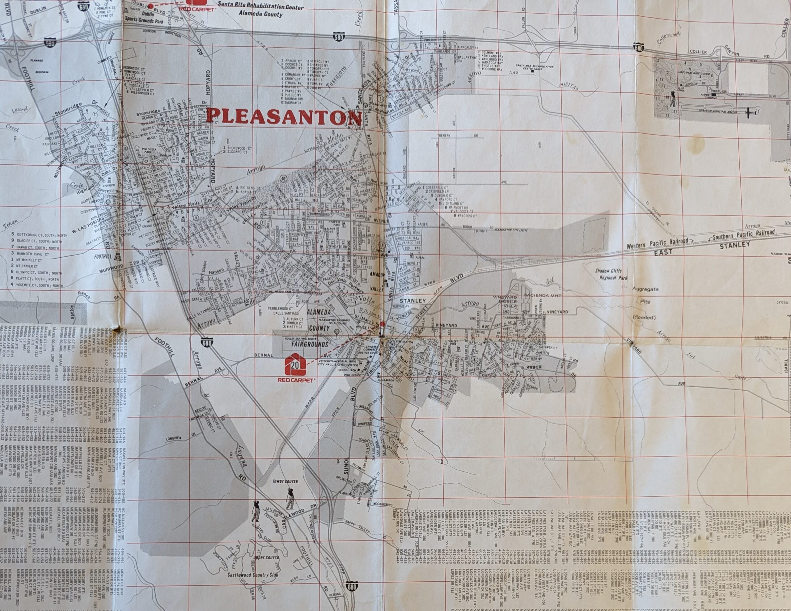
Maps of Pleasanton
Some maps of Pleasanton are shown here for historic purposes. Searching online this author did not easily find any old maps, that is, maps going back at least 40 or 50 years. Meanwhile Pleasanton has grown immensely. Maps shown are images made from paper maps in the author’s possession. Click on the heading to get a version of the image that can be enlarged and more easily read.
Realtor’s Map circa 1979

Pleasanton Chamber of Commerce map, circa 1979

Pleasanton Chamber of Commerce map, circa 1989

Recent Comments